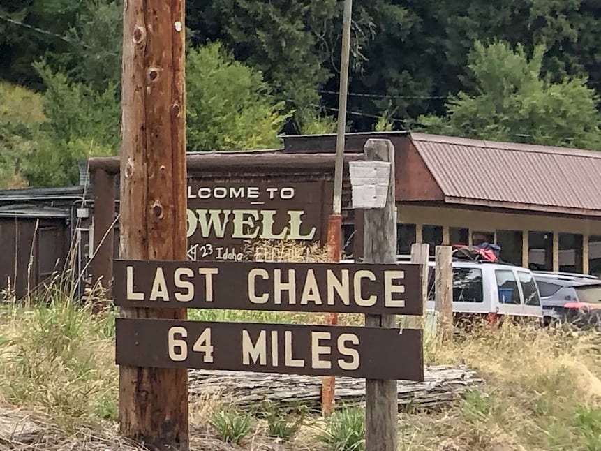
From the wide open spaces of Grangeville, our biking journey took us along the Lewis and Clark trail through the narrow canyons of the Clearwater and Lochsa rivers, over Lolo Pass and into the Bitterroot Valley to Missoula.
We had absolutely no internet or cell coverage in these narrow canyons, so it’s time to catch up!
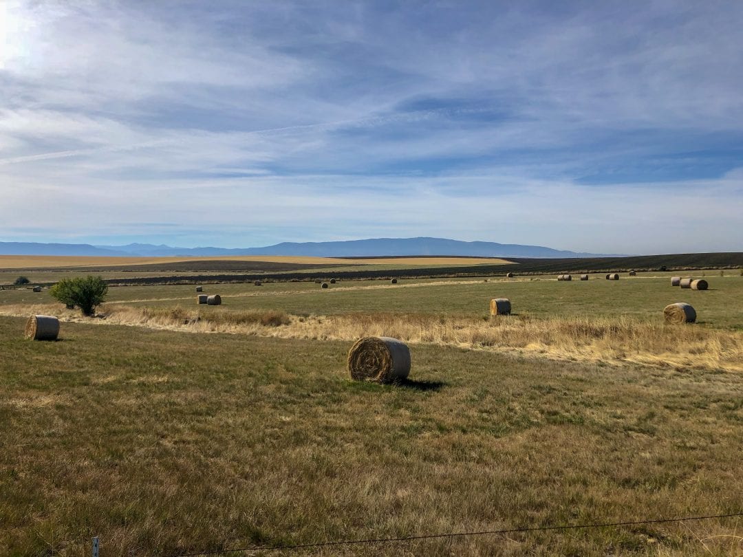
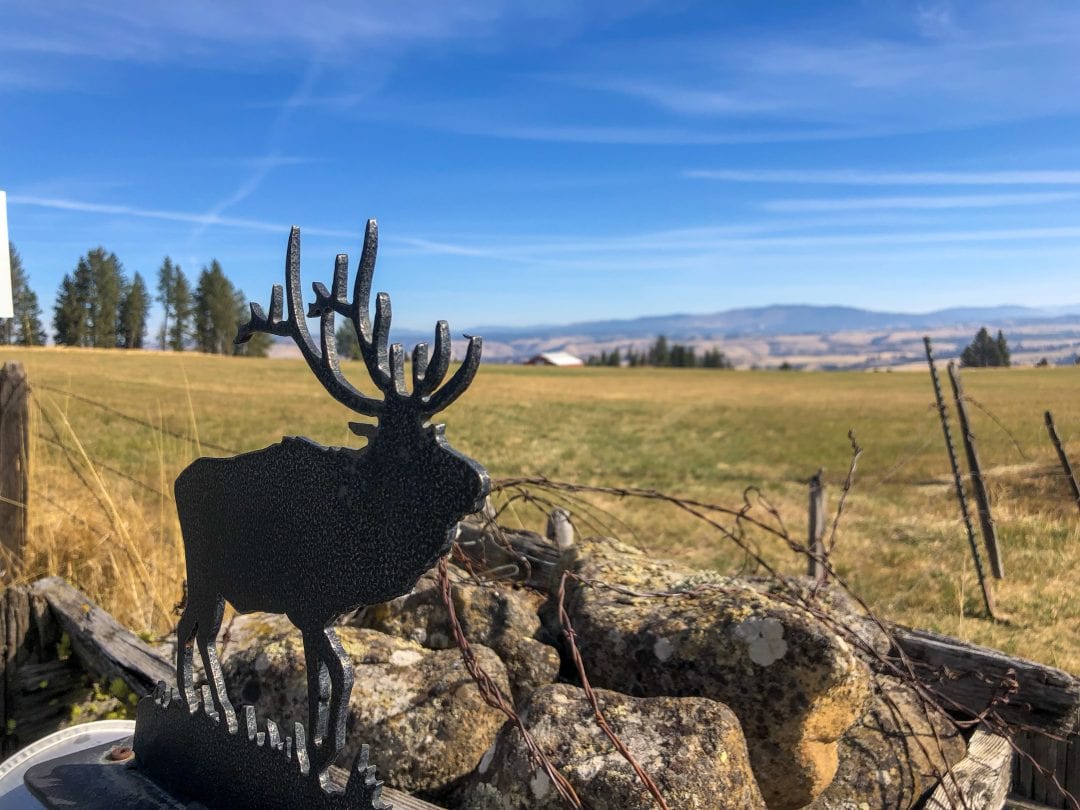
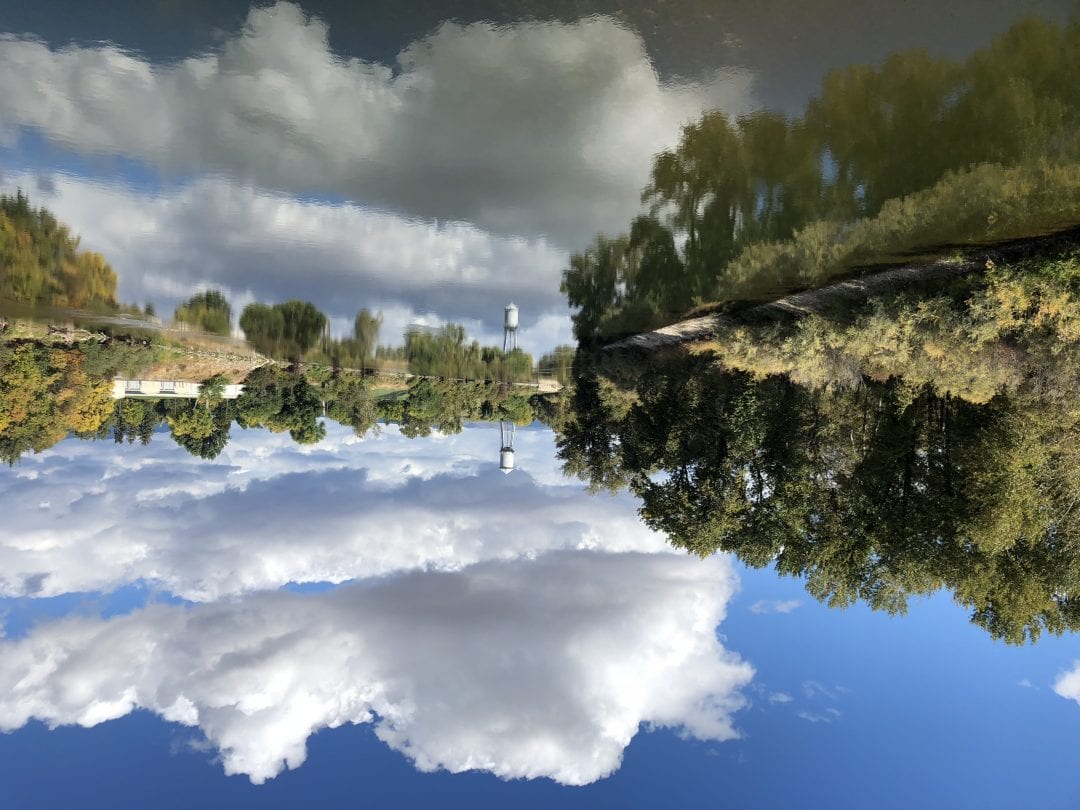
Wide Open Farmland
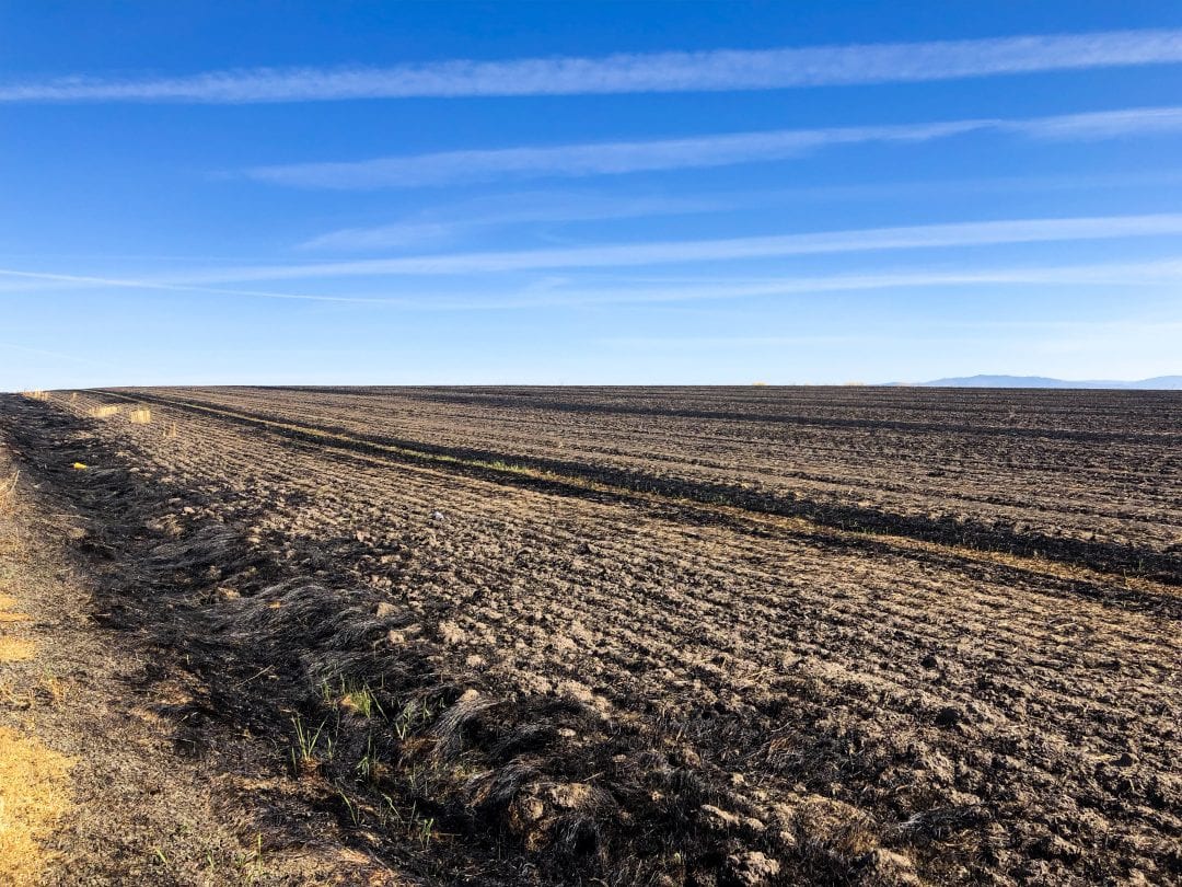
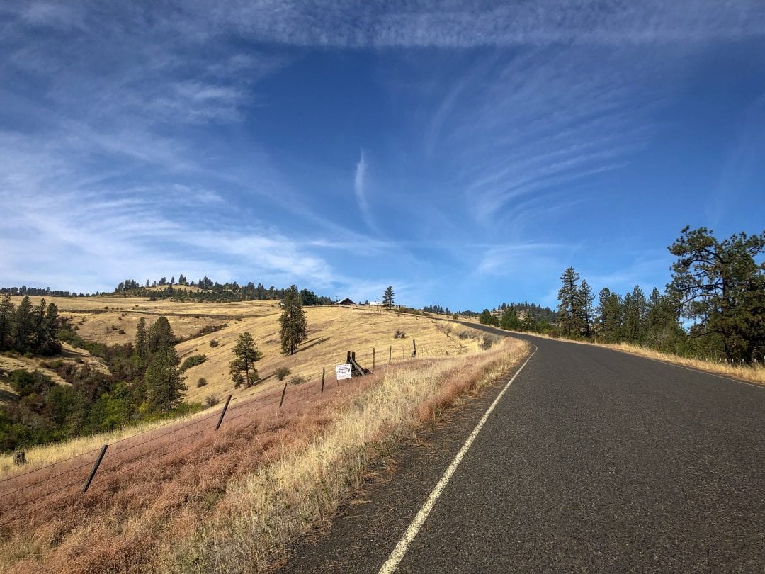
As we left Grangeville, we rode through farmland in the midst of seasonal change. It was a scene of contrasts – fields of grass or wheat, now burnished to yellow and gold, fields recently burned and blackened to return nutrients to the soil and fields of newly planted seedlings. The ride was rolling, but steadily downward.

Then suddenly we plunged into the river valley below, descending over 1300 feet in a little more than 3 miles, with harrowing 13%, twisting grades! Happy to have disc brakes!
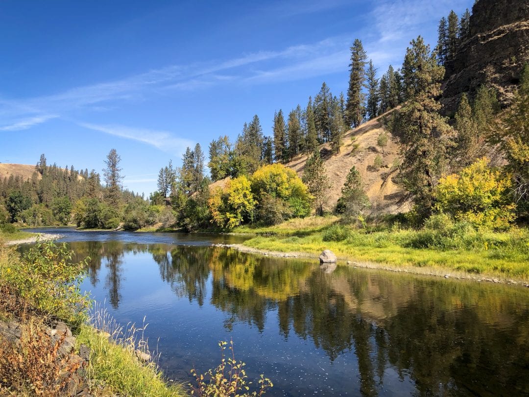
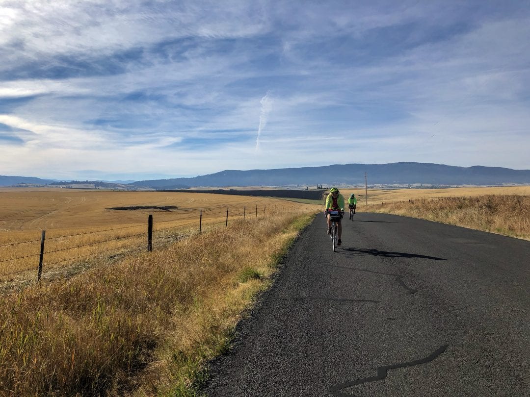
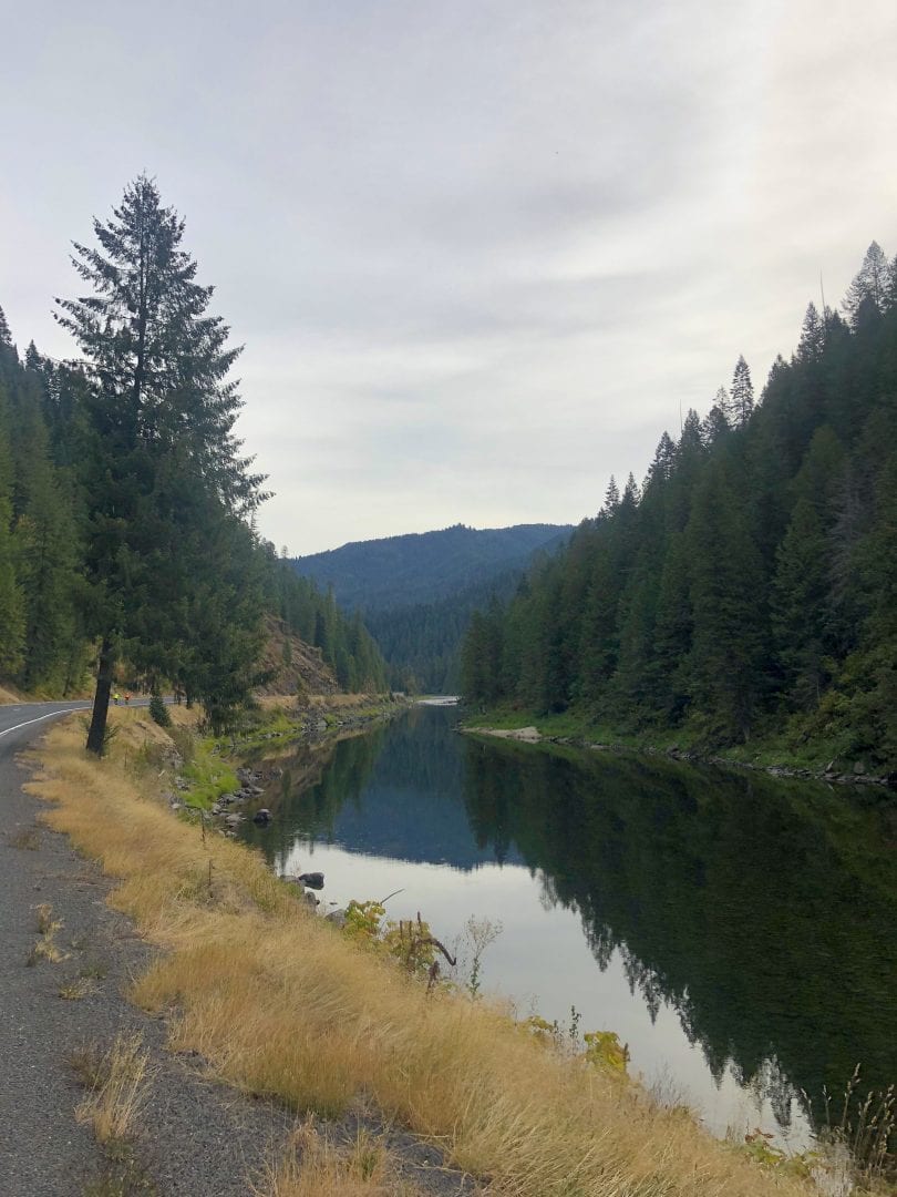
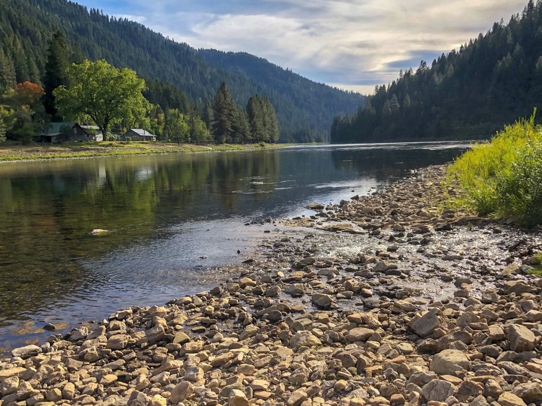
Along the Rivers and Canyons of Lewis and Clark
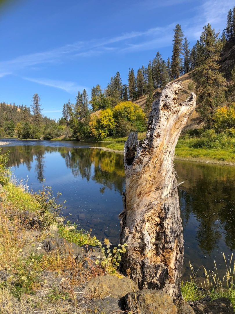
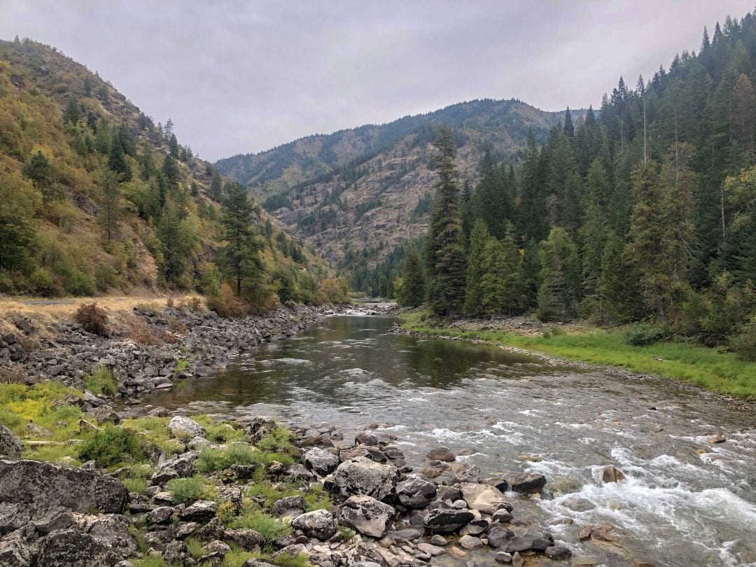
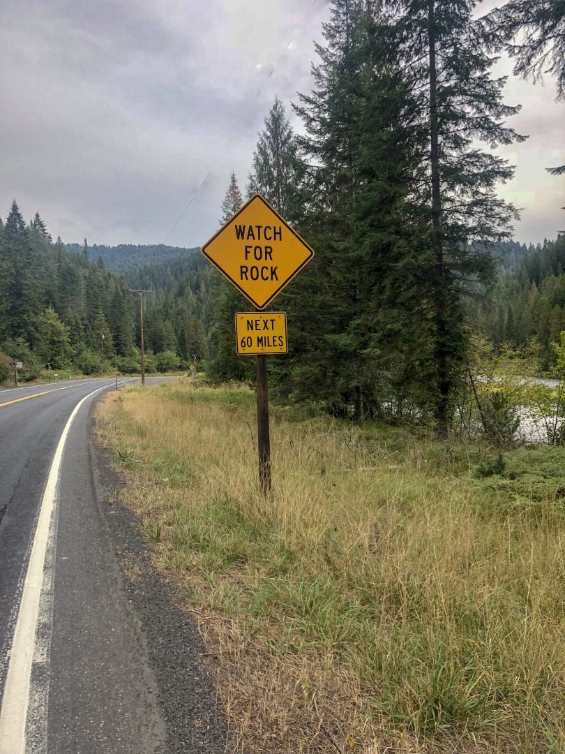
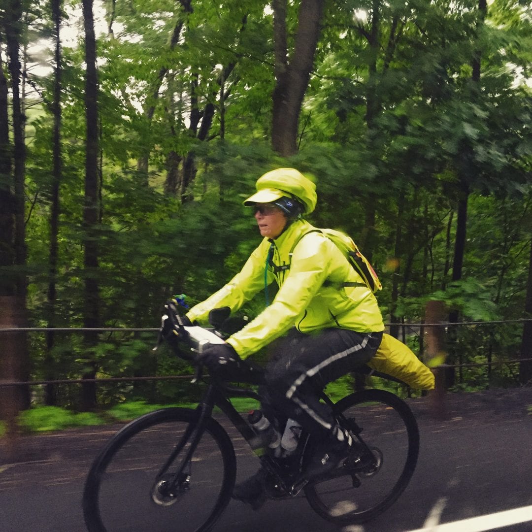
After the descent, we slowly gained elevation as we followed the Clearwater and Lochsa rivers through narrow canyons for more than 80 miles. The rivers and Ponderosa pines were our constant companions, as people, cell and internet coverage grew increasingly sparse.
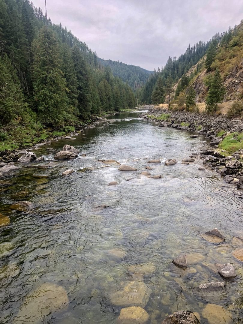
We were fortunate in a late September crossing, because high traffic and 18 wheelers on this narrow winding road would make this a scary passage in the summer. We had light traffic, mostly very polite. Lots of fly fishermen looking for cutthroat trout on the Lochsa and hunters setting up camps. Unfortunately, road work cut our route 10 miles short on the second day, as we were shuttled to avoid road conditions dangerous to cyclists.
Lewis and Clark followed this route downstream on the way to the Columbia using dugout canoes to speed the journey. It was a long traveled Native American route. Many Nez Perce followed the route upstream in an attempt to escape US troops. Lochsa is Nez Perce for “rough waters”. The Salish term meant “It has Salmon.” The Lochsa is a designated wild and scenic river, well known for its continuous white water in the spring.

Lolo Pass
The last push to Lolo Pass involved a peloton start and a category 1, nine mile climb gaining 1691 feet. With 1.5 miles of road where cars where unable to pass, we began the day as a peloton, with our SAG car in the rear holding back traffic. Luckily, a cool rainy morning meant low traffic, and only 3 cars were delayed and we were off!
We were soon onto the main climb. Within a few miles from the top, drizzle and light rain began again. With the climb, I was not cold until we reached the top where my wet feet and damp clothes quickly chilled. Luckily, the Lolo Pass Visitors Center was heated, with coffee, hot chocolate and our first working WiFi in two days! What an oasis!
We added layers, but the wet descent averaging more than 25 mph was still cold! The grade became more gentle in a few miles. I began to warm up and the sun came out. By the end of the ride, I had shed all the outer layers.
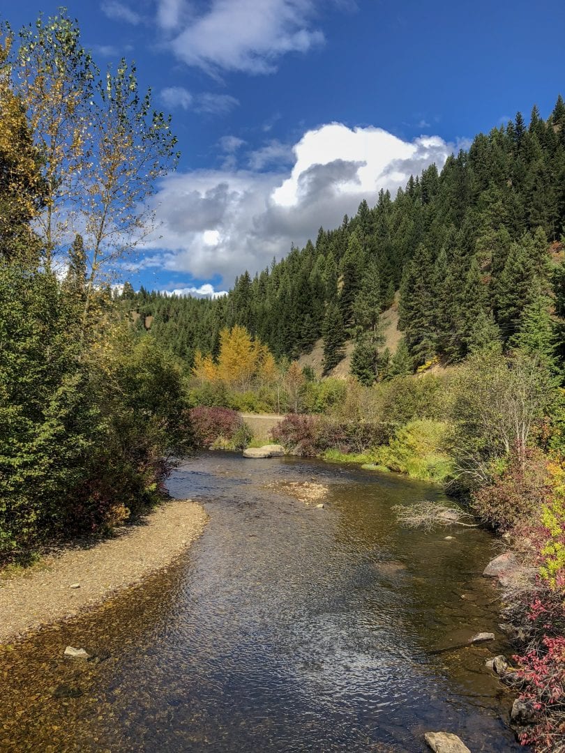
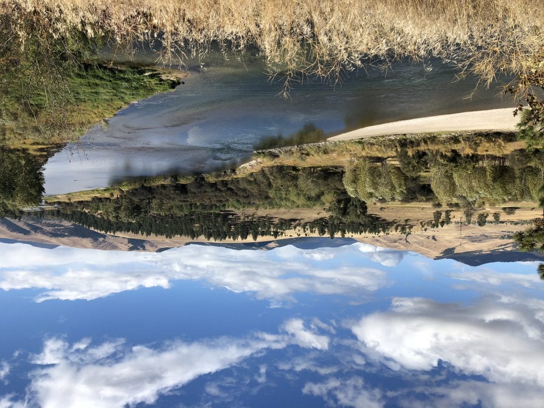
A 1-2% grade downhill and a tailwind made for a super fun 25 miles into the Bitterroot Valley!
Back Home to Missoula
I love this town that Bob, Sadie and I have spent two summers in. It felt like going to my home away from home to make the last turn to Missoula. I can’t wait to enjoy a rest day here!
Six riding days to West Yellowstone!
No Comments