When I drove along the course of our bike route back in July, I knew the seemingly never ending climb up McKenzie Pass on day 3 would be a huge challenge for someone following the world’s worst training plan. The good news – I survived!
The Challenge
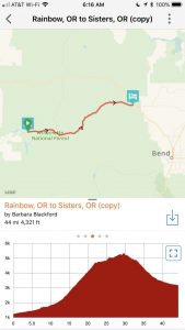
The first three days of the tour consisted of almost 180 miles and 10,000 feet of elevation gain. Day 3 was a 4400 foot climb up McKenzie Pass – more than 20 miles. We started with a bang!
I recently read an article about research of hikers doing the 200 mile John Muir trail. Interestingly, it found no correlation between preparation and rate of injury. But they did find that those who trained less were much more likely to perceive the hike as arduous. I figured the same would be true of the climb – with less training, it would suck more!
The Climb
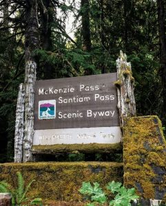
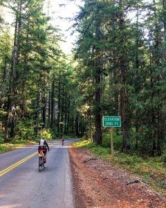
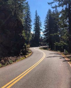
We started the day with seven miles along the McKenzie River, slowly gaining elevation before turning off onto the McKenzie Pass Scenic Byway, where the true climbing began. No surprise, I felt great in the early miles, where the climbing was less steep and the scenery worked its magic.
As the climb continued. . . .on . . . and on . . . and on . . . and my legs fatigued, the climb seemed never ending. We all know the feeling – like when you are on a treadmill, feeling like you’ve been going an hour, only to look down and find only a minute or two has gone by since you last checked. At one point a group pulled over for a break and observed it was just 5 miles to the sag stop at mile 20ish, I laughed and said yes. That will be almost an hour! Not your typical cycling speed!
Luckily, after we made about 25 miles, the route stair stepped, with flat portions between periods of climbing. That shortened the time to complete the last five miles and gave a nice break to climbing until right before mile 30, we were finally there!
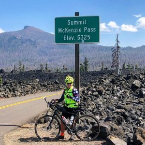
What a feeling of accomplishment to complete such an epic climb!
The Scenery
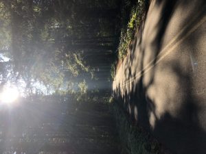
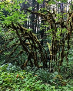
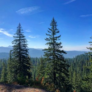
The first 15 miles of the climb were through redwood forest. Sunlight dappled through the trees, moisture on limbs and moss covered trees and rocks shone in the dappled sunlight. It was so quiet and peaceful – you could hear the birds singing, a few frogs chirping and, other than the occasional car, the only other sound was your pedals slowly turning.
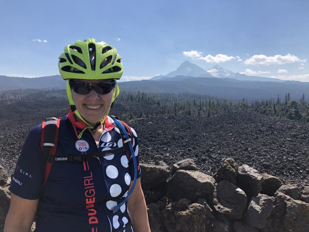
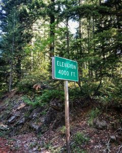
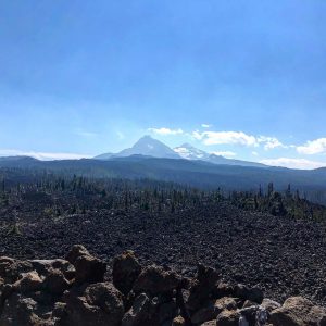
As we got closer to 5000 feet elevation, the forest opened up and we began getting glimpses of the lava beds and mountains so prominent at the crest. The road runs along the route of an old stagecoach route across the Cascades and through a 65 mile lava field.
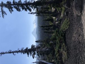
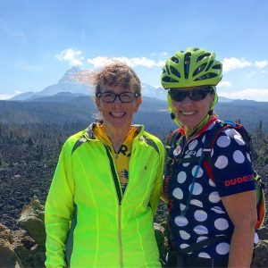
As we got ever so close to the summit, the three Sisters, were shining off to the west and other peaks in the Cascades came into view.
I’ve been to McKenzie Pass twice before, when the views were negatively impacted by rain and smoke. But our hard work on the climb was rewarded with a mostly clear day and beautiful views.
The Dee Wright Observatory
The observatory at the summit was built by the CCCs of lava rock. It provides fantastic views of the area and information about its history. We hung out, ate a snack and congratulated ourselves on making the climb!
The Descent
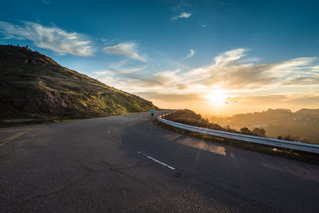
It was about an 11 mile descent and 4 miles of fast flats to our hotel. After all the time to climb, it took me less than forty minutes to finish the last 15 miles – and I’m not a fast descender! Weeeeeee!
Rest Day
Today is a much appreciated rest day. I got in a 5 mile run, enjoyed an almond milk latte (so easily found everywhere in the Northwest), wandered the town, washed clothes and enjoyed my compression recovery boots! I’m hoping it all provides a fitness boost I’ll need as the tour continues.


No Comments